Surveying in the Field: April 2024
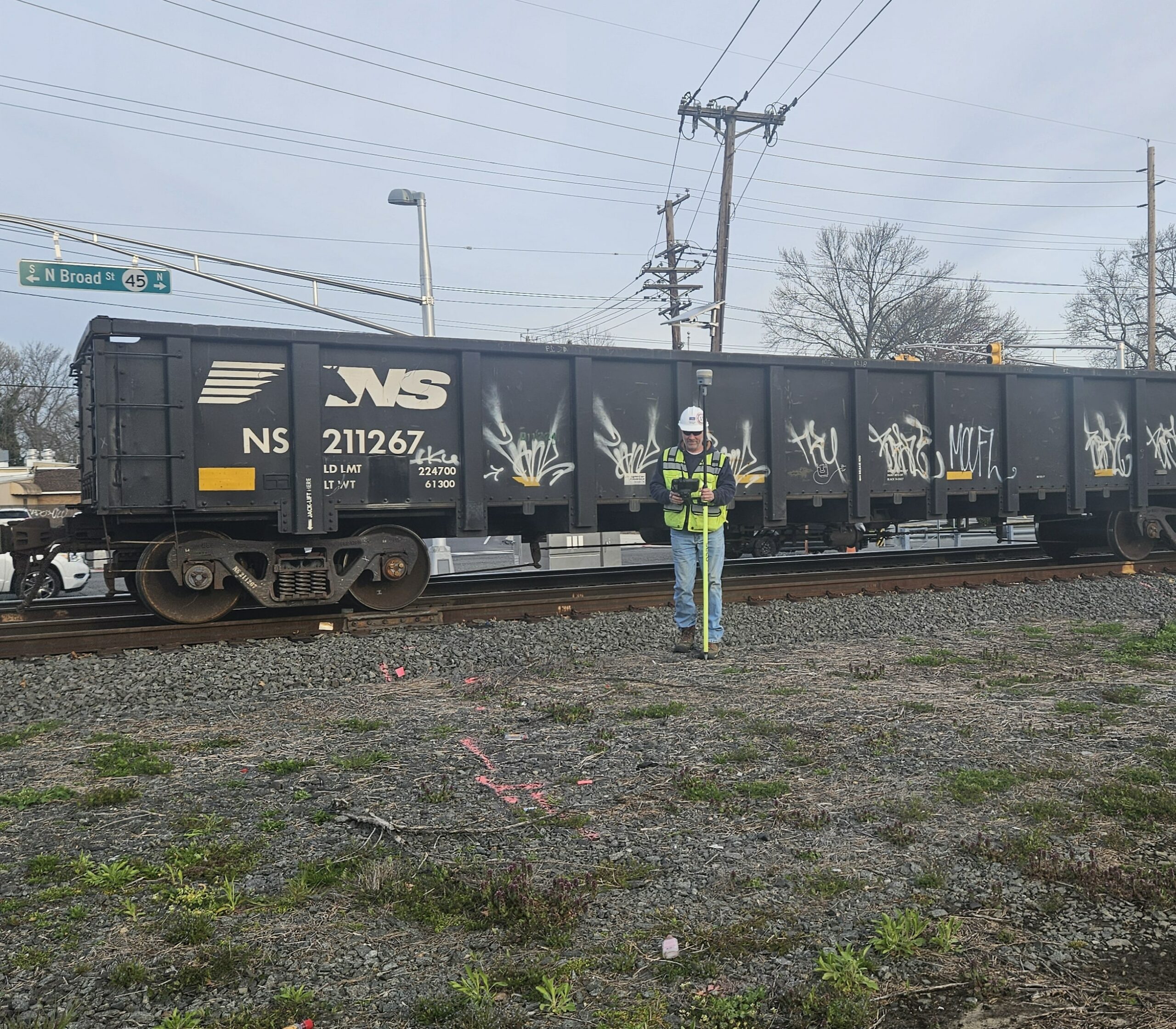
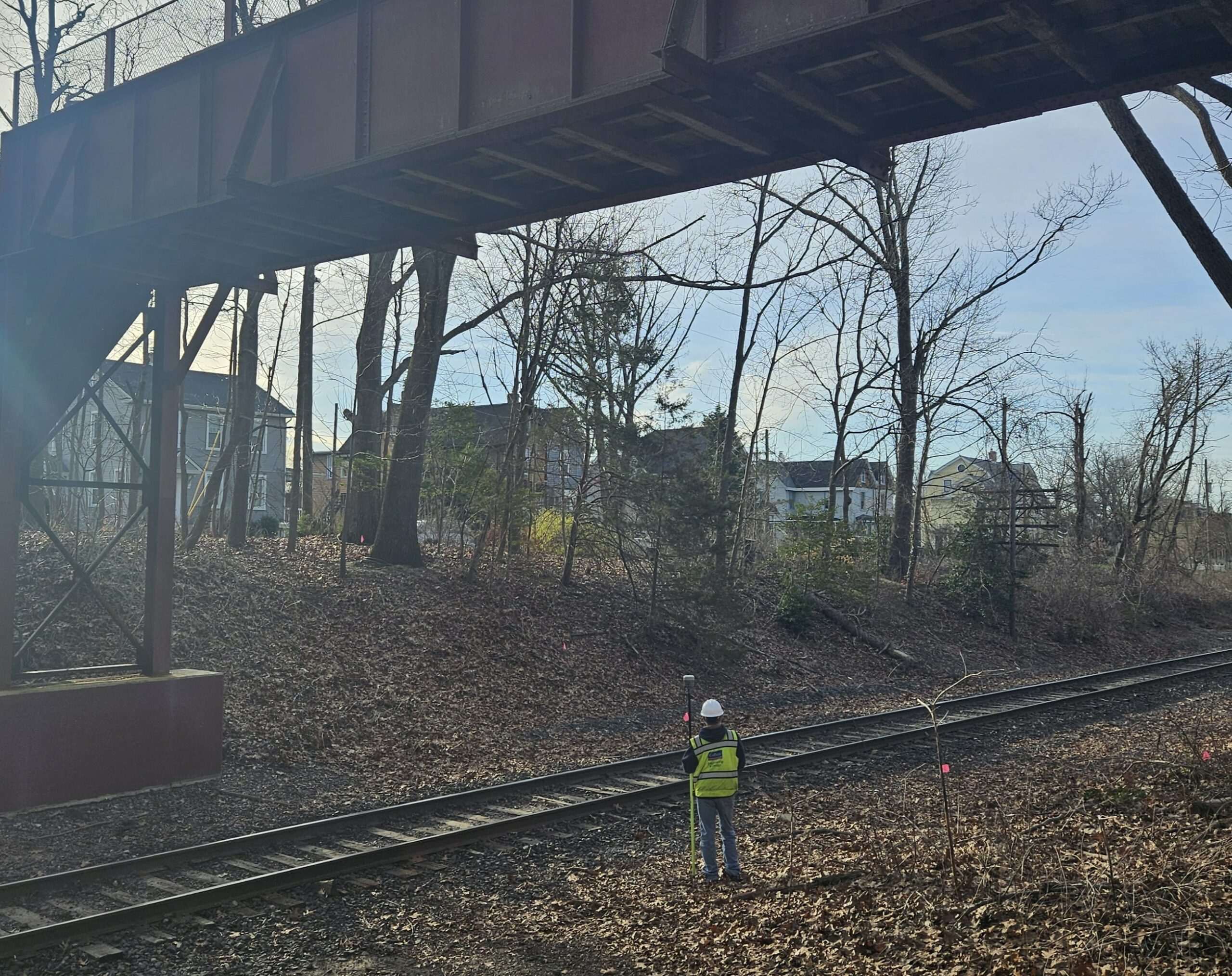
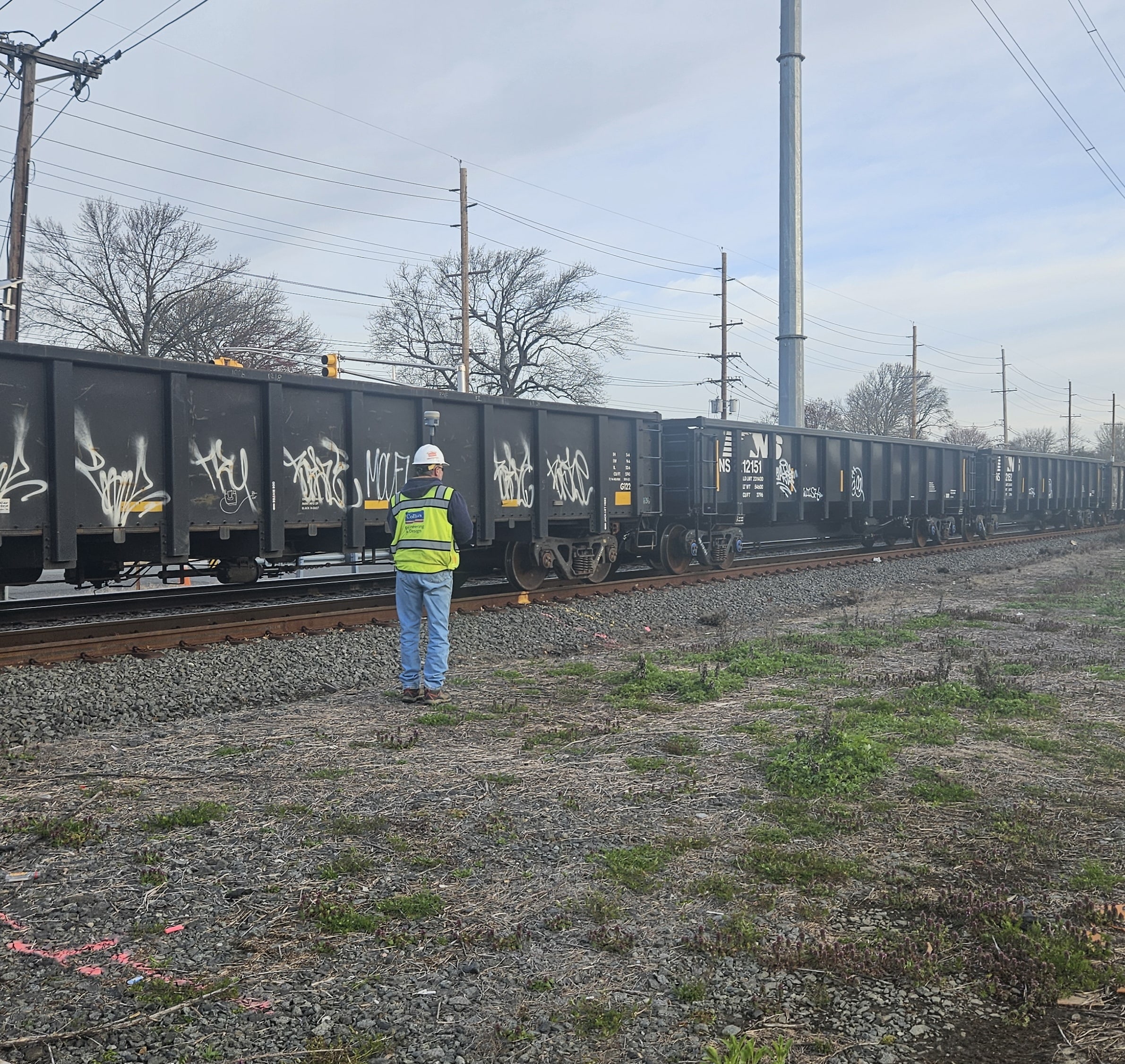
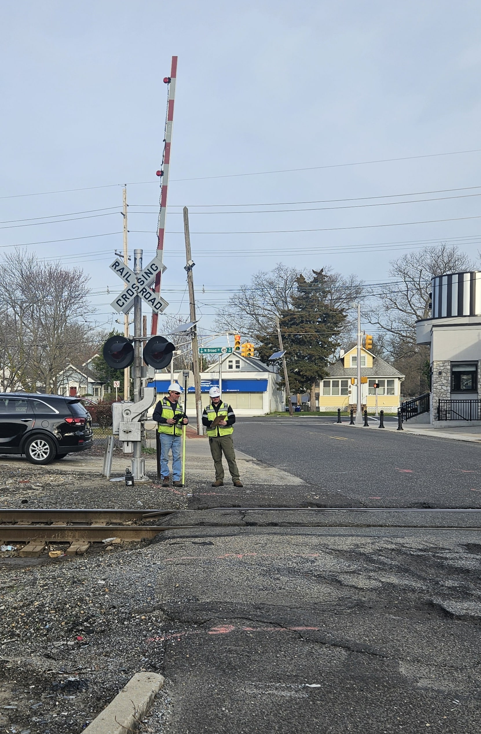
Robinson Aerial Surveys and Colliers Engineering & Design (RAS/Colliers) are collaborating on a field survey project in Camden and Gloucester Counties. This initiative aims to precisely map the existing railroad right-of-way for the future Glassboro-Camden Line construction.
What We’re Doing
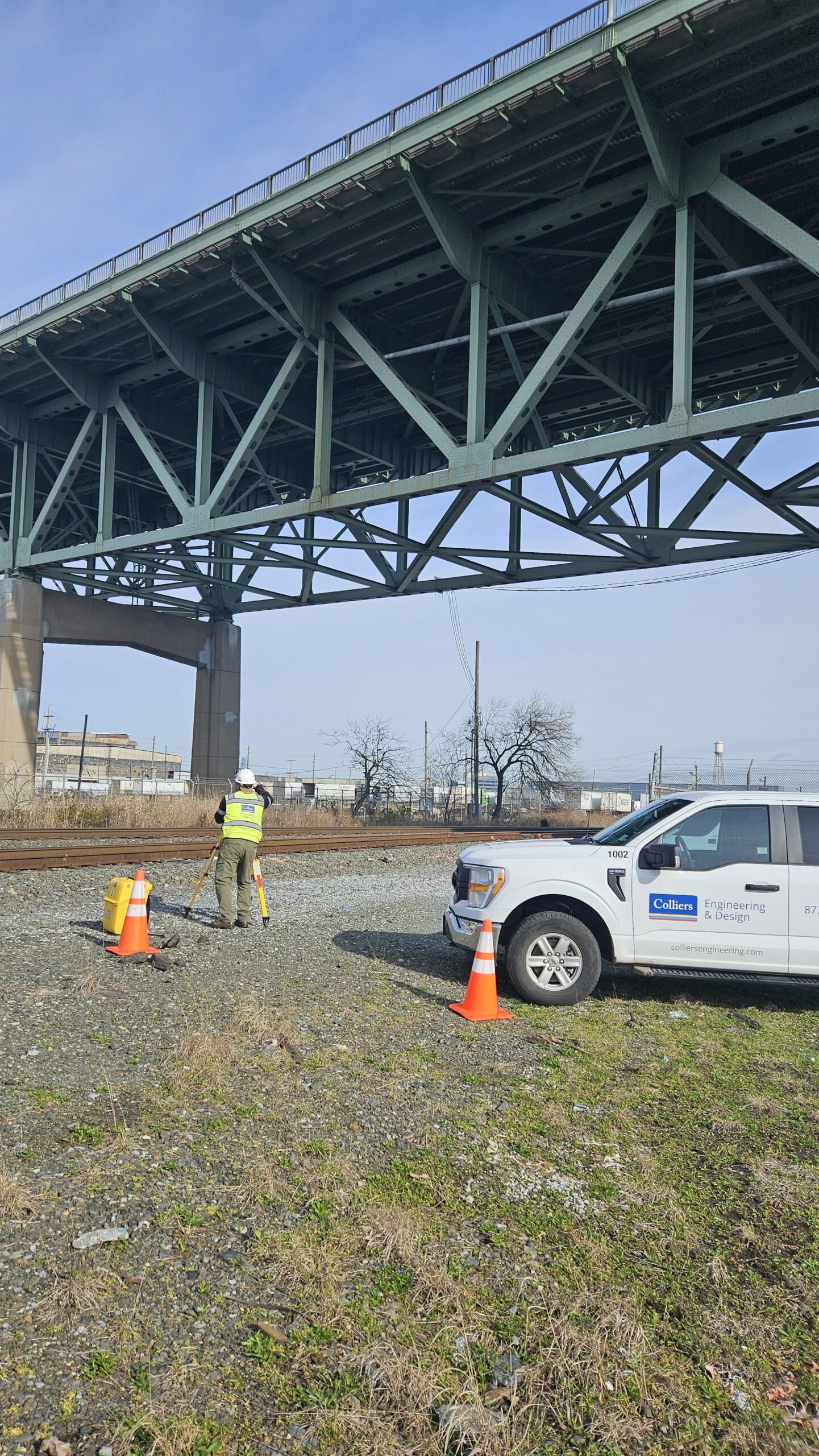
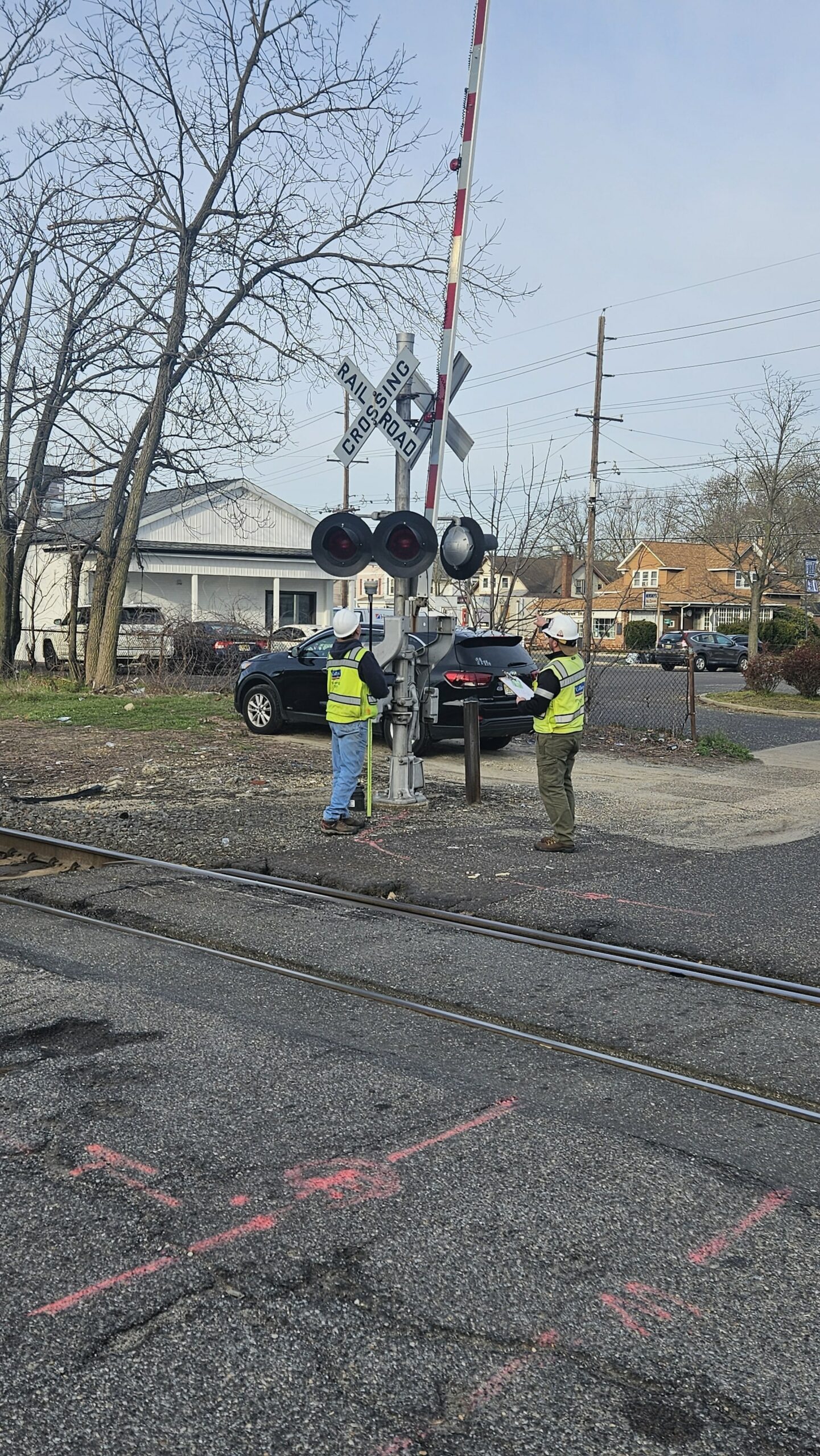
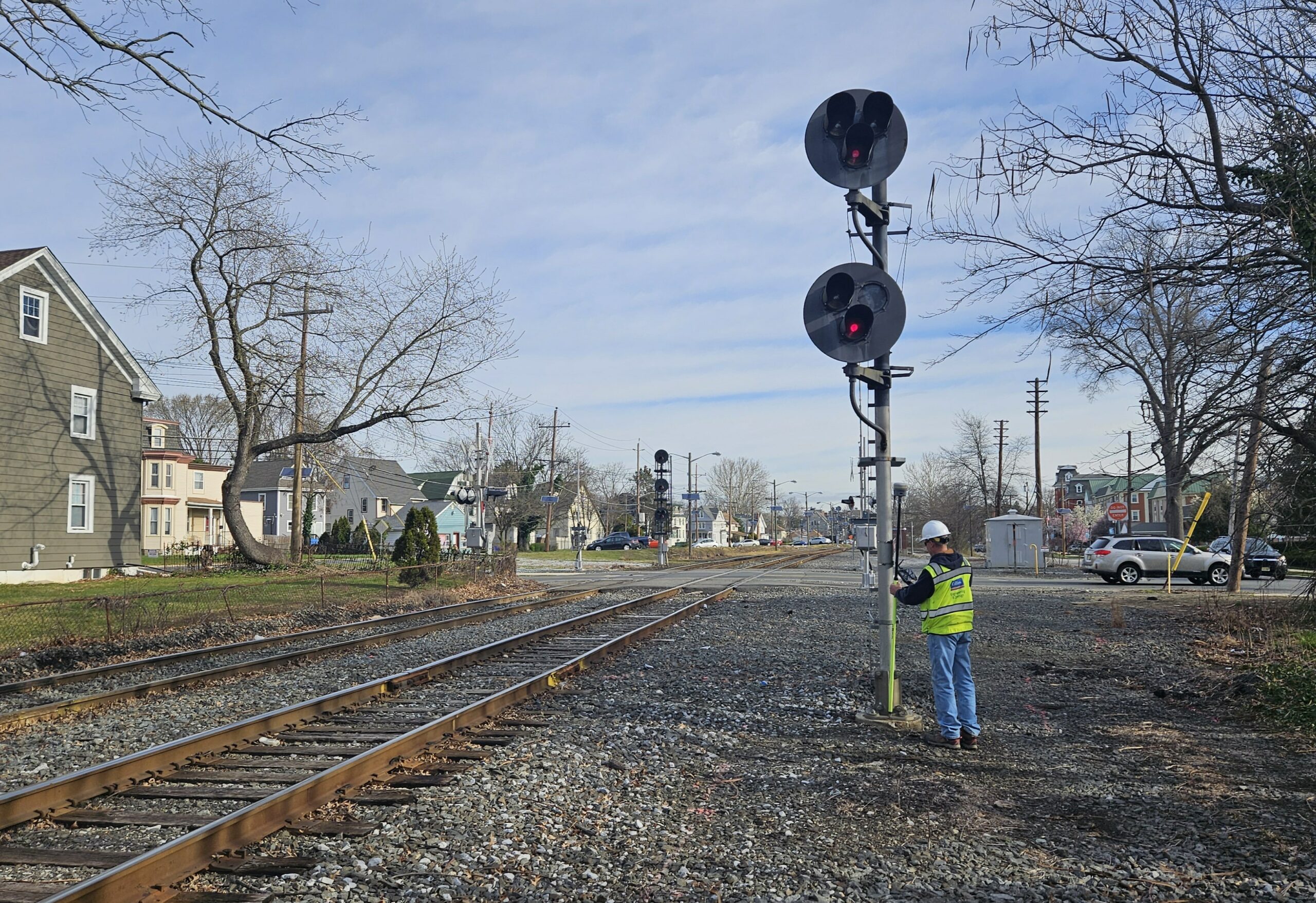
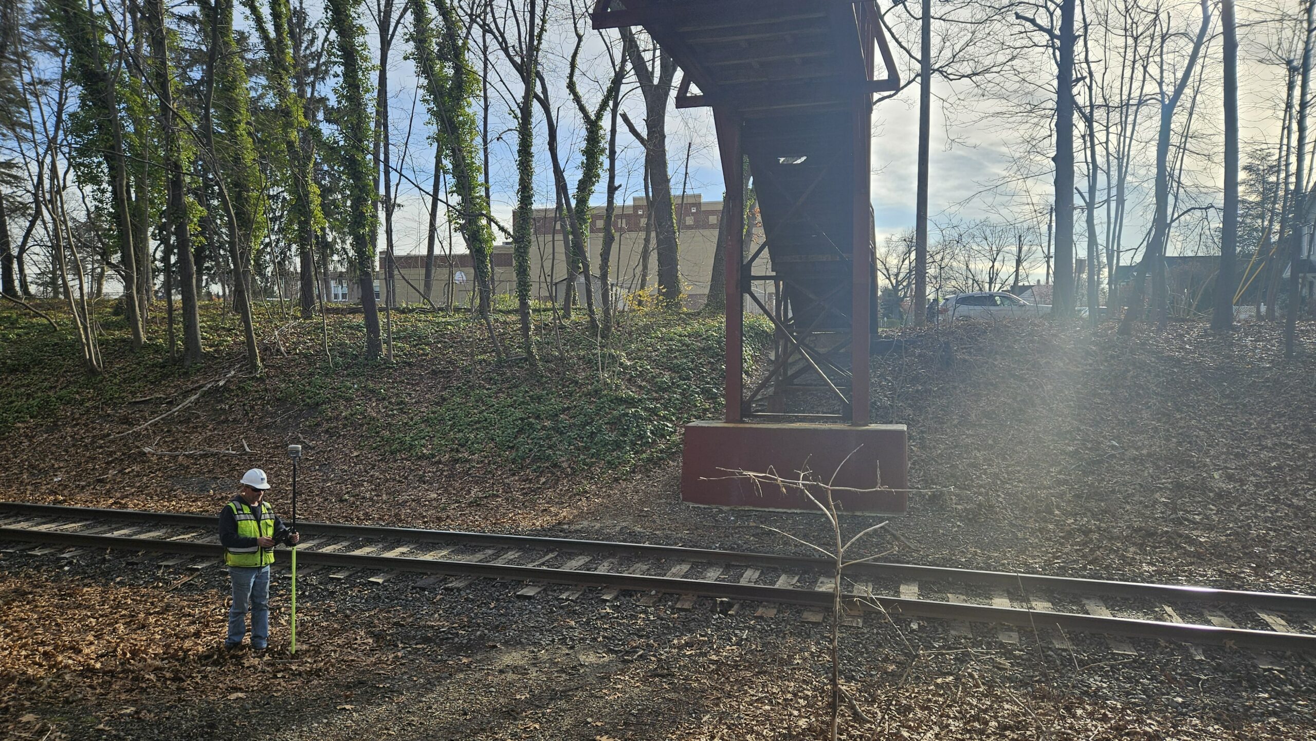
The crews will be carefully examining the right-of-way, recovering essential evidence such as monuments, bridges, structures, markers, and other identifiable points. This meticulous process allows for highly accurate plotting of the railroad boundaries.
What to Expect
Safety First:
Visible Crew Presence:
Survey Techniques:
Minimal Fieldwork Impact:
Project Transparency
RAS/Colliers is committed to keeping the community informed. We appreciate your understanding and cooperation as these crews in the field continue working towards the next steps and advancement of the Glassboro-Camden Line project.
Photo gallery below: